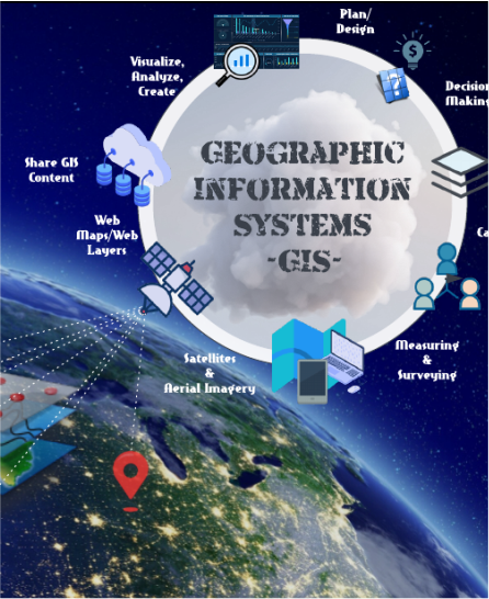
Unified Data Platform
Consolidate data from multiple sources—including land records, zoning regulations, and environmental reports—into a single, secure database
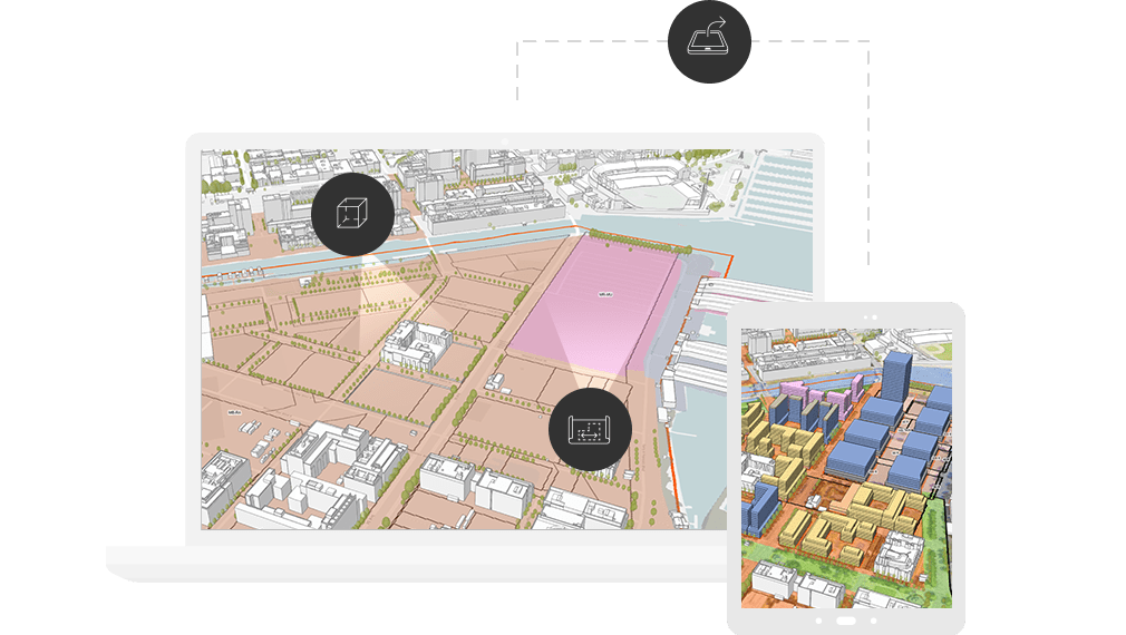
Intuitive Mapping & Visualization
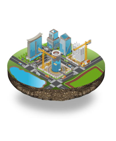
Use GIS to create and analyze dynamic maps and 3D models of your city for a clear, comprehensive view of every project.
Streamlined Workflows
Automate manual tasks and manage the entire development lifecycle, from feasibility analysis to approvals, to increase efficiency and speed
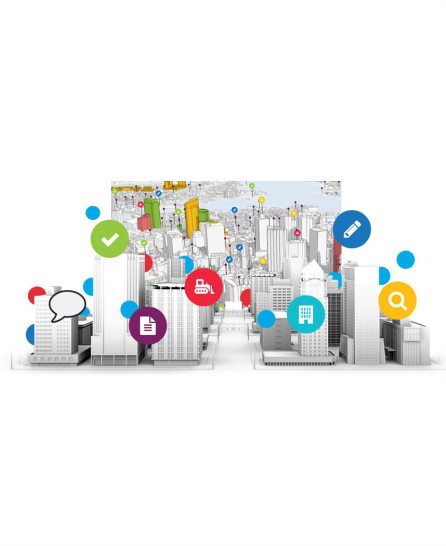
Enhanced Public Transparency
Build trust and reduce administrative burden with secure, online portals that provide public access to official records and project updates.
Informed Decision-Making
Leverage real-time data and analytics to make evidence-based decisions for sustainable urban growth and optimized resource allocation.
Seamless Interoperability
Break down departmental silos by integrating with your existing systems, enabling collaboration across different agencies and stakeholders.